Tuesday, September 10, 2013

PROAGANDA MAP


A New World Map
Notice North America is shifted to the left and not in the center of the map.
This Propaganda Map was created with the goal of achieving a result similar to traditional propaganda; the map can be outright falsified, or even just created using subjectivity with the goal of persuasion. 
 
Should this be the new world map?  Or should we keep our old one?
 

PROPORTIONAL CIRCLE MAP


Proportional Circle Map of U.S. Walmart Stores in 2009
 
There is point data mapped with a circle instead of a dot.  The size of the circle relates to measured variable and not necessarily the area over which it is measured.  The smallest circle on this map is 1, while the largest circle represents 100.  This is a point pattern map.  There are two types of proportional circle maps: continuously variable symbols and range-graded symbols.


ISOLINE MAP


An Isoline Map of the Travel Times from NYC in 1800!
 
The Isoline Map is a thematic map that shows information on a topic superimposed over a base map.  This topic, of course is travel times from NYC.  The map conveys numerical values for continuous distributions by means of lines joining points of equal value.  The map includes a scale from 0 - 200 miles and travel time of 1 day to 6 weeks.


CADASTRAL MAP


Cadastral Map of Rosengberg
 
A Cadastral map is a map which provides detailed information
about real property within a specific area.
 It is designed to facilitate land ownership. 


The land partitioning (or cadasteral) system shows the boundaries of a property defined by a survey that uses natural features like rivers, lakes, trees, hilltops as marker and measures the distance an compass direction between them. 


Monday, September 9, 2013

THEMATIC MAP


Thematic Map of the soil moisture regimes of the contiguous United States


A thematic map shows information on a topic superimposed over a base map.


PLANIMETRIC MAP

 
 Tallahassee, FL street map
 

 This is a Planimetric map of Tallahassee, Florida.  This type of map is a surface map with no relief features, such as a street map.


MENTAL MAP


Mental maps are highly abstracted representations of real world locations.
This is obviously a hand drawn map of the world.


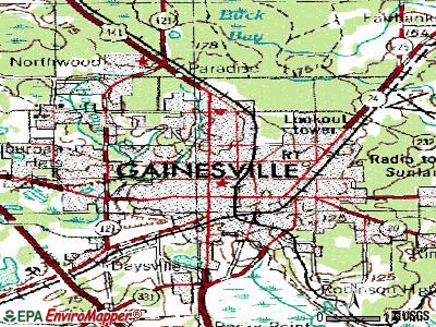
TOPOGRAPHIC MAP


This map uses contour lines to portray shape and elevation the land.
It captures 3-dimensional aspect of terrain on two-dimensional surface.
Contours are imaginary lines that join points of equal elevation on the surface of the land above or below a reference surface such as a mean sea level.
 

STEM AND LEAF PLOT


The stem and leaf plot is a method of organizing numerical data in order of place value. 
 This is a cute map showing the scores for a basketball team.