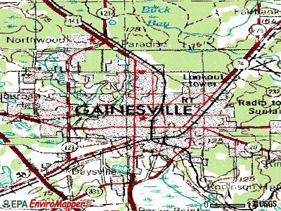
This map uses contour lines to portray shape and elevation the land.
It captures 3-dimensional aspect of terrain on two-dimensional surface.
Contours are imaginary lines that join points of equal elevation on the surface of the land above or below a reference surface such as a mean sea level.

No comments:
Post a Comment