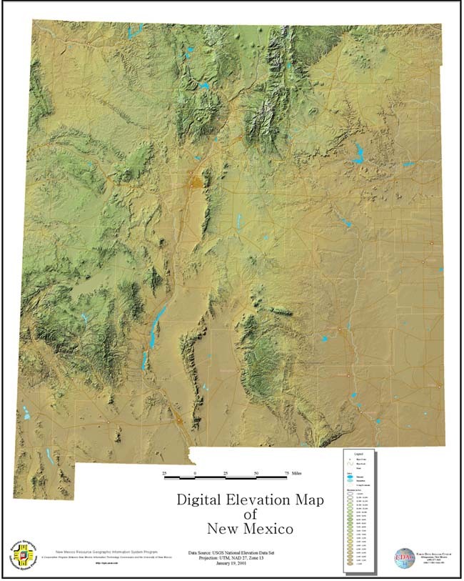
A DEM is a digital file consisting of terrain elevations for ground positions at regularly spaced horizontal intervals. Notice the terrain elevations below in this DEM map of New Mexico. DEM's may be used to generate three-dimensional images or colorized to bring out relief.
The DEM is a raster format, cartographic data recorded, stored, and processed in a cell, or pixel.
No comments:
Post a Comment